We left the hotel and ordered sandwiches from a cafe in the small town.
Whilst they were being made we sorted out the group photo by a sculpture of a walker.
'The Walker' was created by Richard Graham and was unveiled by John Craven (BBC Countryfile) in 2017.
/
A number of trails go through Lynmouth.
We had decided to use the cliff railway which connects the towns of Lynmouth at the mouth of the river and Lynton at the top of the hill..
The funicular railway opened in 1890 and is the highest and the steepest totally water powered railway in the world ( according to Devon's tourist information). The Lynton stop is 500 feet above the Lynmouth stop. This Grade II listed heritage railway is the UK's only fully water powered railway and one of just three examples left in the world. We could have walked up the cliff, of course, but we couldn't miss the opportunity of travelling on this historical railway.
View of Lynmouth from the top.
When we arrived at the top we found an ATM and toilets but couldn't find the way to the path and needed guidance from the train driver! Unfortunately we had to walk a little way back down the hill to a railway bridge but it did give us good views of the cliff railway!


.
Although the path was close to the cliff edge, it was mainly level and the surface was covered with tarmac. I was surprised to see so many families out walking. I mentioned this to someone as we exchanged greetings on the path who replied 'Well, it is Saturday.' A fact that had completely escaped me. Most of the walkers were on their way to the Valley of the Rocks.
A bit close to the edge as we clung to one another.
The majestic Castle Rock overlooking the sea
The path moves away from the sea through the Valley of the rocks.
The Valley of the Rocks is a U shaped dry valley and is well known for its unusual rock formations and caves. We didn't have the time to stop and explore as we had a number of miles to cover in a limited time. We were sorry that the feral goats were no where to be seen as we walked through the valley.
The path takes you up to a road through the Lee Abbey estate. Lee Abbey is a Christian conference and outdoor pursuits centre. We met a couple who were staying here. They had won a prize on a Christian radio programme for a weekend away at the Abbey. they were thrilled with the prize and were thoroughly enjoying their stay.
We had to continue on the road for a little way.
Today was a difficult day as we had two large cliffs to walk up and over as well as some smaller hills..
Lots of streams and waterfalls.
Looking back to where we started today.
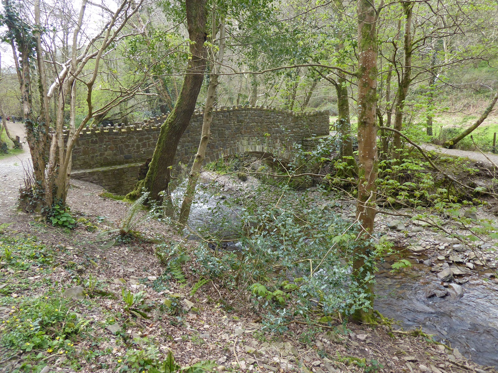
After descending to the valley floor we were tempted to not cross the river but continue along the track to the Hunter's Inn where every other walker seemed to be going. But with many miles still to go there was no time for resting.
We crossed the stone bridge and turned right following the river for a little way before turning away from the river up a steep wooded slope before the trail crosses open moorland back towards the coast.
The cliffs fall steeply into the sea.
Once again the path is close to the cliff edge.
We stopped for lunch on a small grassy bank clinging to the side of the cliff but the views were stunning.
After lunch we had sea views from the path for a mile or so before moving inland from the cliff to avoid landslips.
Time for a rest

.
We knew we had to climb up the Great Hangman. At 1044 feet, or 318 metres, Great Hangman is England's highest sea cliff, so it was disappointing that we were still going downhill.
Still going downhill.
We finally reached a stream with a footbridge across. The path climbed steeply up the other side of the valley rather than taking a zig zag route. When climbing uphill the group is well spaced out as we each try and ascend at a pace that is comfortable, plus we are so out of breath there is no conversation.
I didn't have the energy to keep stopping to take photos.
We were all delighted to reach the top. The photo was taken by a German couple who were walking the whole of the 600 mile trail and hoping to complete it in 60 days. They were camping and were carrying very heavy rucsacs. However, they were about 40 years younger than us!

On a clear day you can apparently see the coast of South Wales and Lundy Island from the top but we could just see a hazy outline.

Tonight we are staying at the Devon Bay Hotel in Ilfracombe. Our walk for the day would end in Combe Martin but as we couldn't get accommodation there, Steve has arranged for a taxi to take us to Ilfracombe. The taxi had been booked for 5pm but as we struggled up the 1100ft of the Great Hangman cliff it became obvious we would be late. We had no phone reception until we reached the carn at the top. Steve phoned to change the time but unfortunately they could only delay pick up by 20 mins. That just gave us 40 mins to get down from the cliff to sea level, into the town of Combe Martin and find the taxi!
Jim is our pace setter so all we had to do was keep up with him!
With 20 mins to go before we were due to be picked up, the town seemed within reach.
Out of breath, exhausted but we managed. My feet were killing me but at least, no blisters.
We had walked nearly 14 miles with an elevation of 4365 ft (1330m).