Saturday 29 April 2023

Norfolk Day 7


We left the Royal Hotel in Mundesley for the last leg of our journey. Today's walk is about 8.5 miles which is just as well as putting the boots on this morning was agony. As we were getting ready to leave we bumped into Andrew the man who has been collecting and delivering our luggage. He kindly took our group photo this morning before loading up our luggage. I was very tempted to ask for a lift as I am feeling so exhausted today but I am almost there so best foot forward.

We walked back down the hill to Mundesley beach.


You know you are near a popular beach when you see sun hats and ice cream being sold.


This is a memorial to the many brave Royal Engineer Personnel who were killed while clearing British land mines from the Norfolk coast between 1944 and 1958.


This is a nice touch. It is called a happy to chat bench.


We walked down to the beach and passed these brightly coloured beach huts.

We had followed the signs for the Norfolk Coastal path and they led us onto the beach. As I mentioned yesterday this us not easy walking.
After a brief walk along the sand, we spoke to a lady who was out walking her dog who told us that we needed to find the alternative route inland. There is a path along the beach all the way to Cromer but you can only do that if the tide is on its way out! Being townies we never thought to consult the tide timetable. The only way was up and off the beach. The walk up this path was no easy feat. 
I thought if I took advantage of the bench halfway up I would never get up again.


We soon found the inland pathway which took us along roads, round fields and through small bits of woodland. All the while the only thing we could hear were RAF jets. They were so high we couldn't see them but the noise was deafening. I assume they were on patrol from RAF Mildenhall. 

This romany caravan has seen better days.


We finally reached the small village of Trimingham and decided to make our way back towards the coastline.


We found the path along the top of the cliffs but made sure we kept well away from the edge.


Cliff erosion had left a zigzag pattern to its edge.


It won't be long before these jagged points of land are lost to the sea.


The path took us inland slightly to the village of Overstrand.


A quirky garden with driftwood and stone sculptures.


A post box knitted topper to celebrate the Coronation next week.


Although we only had a couple of miles to go we couldn't resist popping into this cafe for a cup of tea and toasted teacake.
Back to the crumbling path again.
We could just about see the pier at Cromer in the distance.

The walk took us past the Royal Cromer golf course which slowed thd boys down as they watched and criticised a  couple of golfers' swings.


Adjacent to the golfcourse is the octagonal tower of Cromer lighthouse.

With a sigh of relief we come into the town of Cromer where we found the beginning of the Weaver's Way trail and where we will end our walk along the Norfolk Coastal path.
We are all delighted to have completed this year's walk. A total of 77 miles and apparently over 200,000 steps but I wasn't counting. We have decided that this will be the last of our linear walks but not the end of our annual get togethers. In future we will stay in one place and go out daily on different walks. This will allow the possibility of having a day's rest if needed. Due to Covid, our last walk took place in 2019 and we all felt the difference of those intervening years. 

Our last evening together until 2024 when hopefully we will be all present including our 6th member who is nursing a broken arm and couldn't be with us this week. Hope you've all enjoyed joining me on this walk from the comfort of your armchairs. Thank you for your many comments and I will be back reading your posts asap.

Friday 28 April 2023

Norfolk Day 6


Boots on and ready for our sixth day of walking. We loved our stay at the Dairy Barns and if I'm ever in this area again I would definitely stay here. We caught a taxi back to where we left the coastal path yesterday. We had heard overnight that due to heavy rain there had been a significant land fall along the route and we would have to use an alternative path in parts.

15 mins later we were back on the coastal path but using the alternative route which has been in place for a few years because of the unstable ground here.
It meant we didn't  see the sea for a while. Being so close to the beach, the path was very sandy which isn't that great for walking.

There were some other things to distract us enroute such as this peace camp if that's the right word.
It looked very interesting but there was no one around that I could ask about its origin.
In amongst the holiday homes on our right here was a Romany caravan which was beautifully decorated.

We felt we had walked enough of the alternative pathway and made our way over the dunes to the beach.

The huge rocks have been placed here deliberately to build up a sea wall so the waves break here rather than closer to the land and cause flooding and erosion. 

At the top of the cliff was the Happisburgh Coast watch and behind that was the lifeboat centre.
We stopped here for an ice cream. 
Interesting statistics about the wonderful work the volunteer lifeboat crews do.
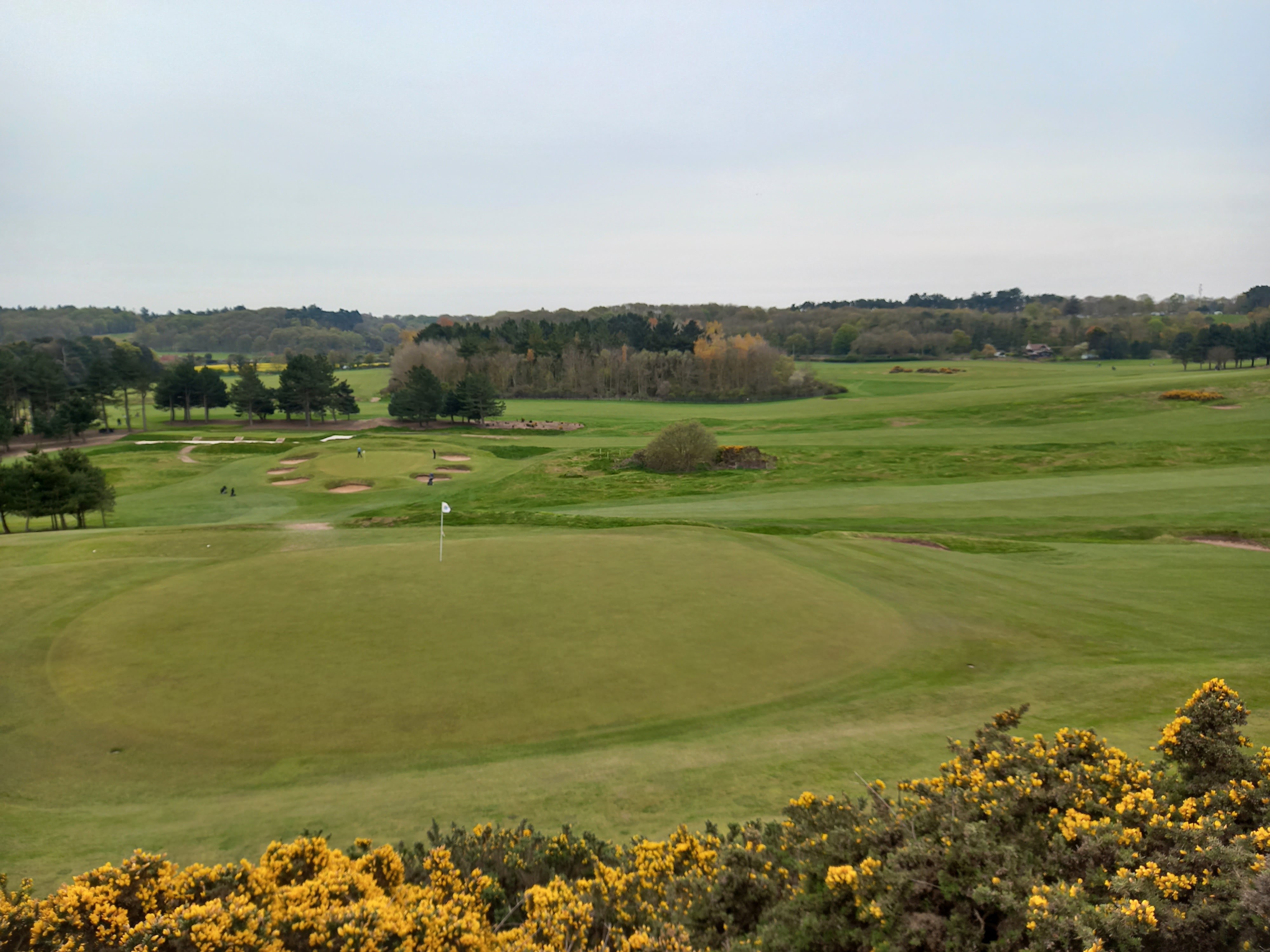
Back on the coastal path.
I'm not sure that this coastal path will exist in future years.
We could see where the cliff had fallen away in recent times.

Another WW2 pillbox.
The Happisburgh lighthouse in the distance.

This was a recent fall of the cliffs down onto the beach.
The Happisburgh Lighthouse. The five banded red and white lighthouse was constucted in 1791 after 600 people had lost their lives in over 30 shipwrecks in the area.
We didn't go into the village of Happisburgh. It was too early for lunch so we decided to press on to the next village.


You can see how the path has disappeared here.


I'm sure people owning properties so close to the sea must be worried about flooding and risk of erosion.

We passed numerous caravan sites.
I think these are turnstones. I would be grateful if someone could let me know if I am wrong.
One thing about doing a walk along the coast was tha we were always able to find somewhere to have  snack and drink.

 
We saw a few people on the beach clearing up the litter.
There are regular clean up stations along this beach. Consequently we didn't see any litter.


I found this tough going, walking on the soft sand. You would think it easier to walk on but sinking into the soft sand just made it harder.
The Mundesley lifeboat station.
An uphill climb away from the beach and into the village.
It was good to see this sign, knowing we were almost there.

Our destination for the night. We had walked just over 11 miles today. My feet are just about holding out. Just one more day of walking. 
Inside the hotel they were getting ready for the Coronation celebrations in just over  a week's time.